Somerset County
Princess Anne · Crisfield · Deal Island · Smith Island · Dames Quarter · Fairmount · Eden · Chance · Mount Vernon · West Pocomoke · Frenchtown-Rumbly

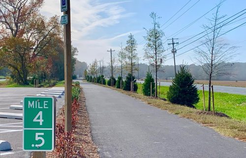
Somerset County is an area rich in Eastern Shore and Maryland history, boasting more historic buildings and sites per capita than any other county in Maryland. Vividly reflecting the past are a wealth of surviving eighteenth and nineteenth century plantations, farm and town dwellings, churches, and agricultural buildings.
Established August 22, 1666 by Cecil Calvert, the second Lord Baltimore, Somerset County was named in honor of his wife's sister, Lady Mary Somerset. As originally conceived, Somerset County stretched from the bayside to the seaside and from the Virginia line to the Nanticoke River, encompassing what is now the three lower Shore counties as well as a part of southern Delaware. Seventy-six years after its original creation, Somerset was divided in half, with the seaboard side established as Worcester County in 1742. Princess Anne, founded in 1733, was declared the new county seat of Somerset in 1744. In 1867 a portion of Somerset and a section of Worcester County were partitioned to create Wicomico County.
The shared history of the three lower Shore counties offers an interesting background for the modern day pilgrim to explore Somerset County with its level fields, extensive marshes and miles of slow moving tidal tributaries emptying into Chesapeake Bay.
Learn More about Somerset County here
Wicomico County
Salisbury · Pittsville · Mardela Springs · Fruitland · Delmar · Hebron · Sharptown · Willards · Nanticoke · Parsonsburg · Quantico · Whitehaven · Tyaskin · Bivalve · Powellville · Allen

Wicomico County, southeastern Maryland, U.S., is bordered by Delaware to the north, the Pocomoke River to the east, the Wicomico River to the southwest, and the Nanticoke River to the west and northwest.
The county was named for the Wicomico River, which in turn derives from Algonquian language words wicko mekee, meaning "a place where houses are built," apparently referring to an Indian town on the banks. Wicomico County was created from Somerset and Worcester counties in 1867.
Wicomico was part of "Old Somerset", which once encompassed the entire lower Eastern Shore area of Maryland and was settled as early as the 1660s. The original boundaries of Somerset County, shown in green, were split in 1742, when Worcester County was formed, and again in 1867 with the formation of Wicomico County from parts of Somerset and Worcester. By 1750, the dispute over the southern boundary of Delaware was finally over, and Lord Baltimore lost the Sussex County area to William Penn. Another close neighbor is Dorchester County, Maryland.
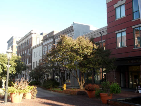
Salisbury, the county seat, developed as the commercial centre of the Delmarva Peninsula and became one of the largest ports in Maryland. Parklands include Wicomico Demonstration Forest. Wicomico county was created in 1867 and named for the Wicomico River.
Learn More about Wicomico County here
Worcester County
Snow Hill · Berlin · Pocomoke City · Ocean Pines · Ocean City · Bishopville · West Ocean City · Newark · Stockton · Girdletree · Whaleyville

Worcester County is the easternmost county within the state of Maryland, and is the only county to border both the state of Delaware as well as Virginia. The county was named for Mary Arundel, the wife of Sir John Somerset, a son of Henry Somerset, 1st Marquess of Worcester. She was the sister of Anne Arundel (for whom Anne Arundel County was named), wife of Cecil Calvert, the first Proprietor and Proprietary Governor of the Province of Maryland.
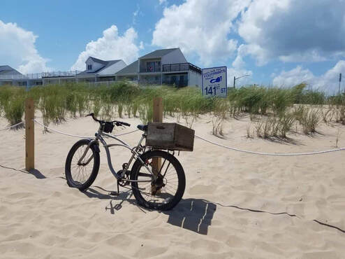
Worcester County is included in the Salisbury, MD-DE Metropolitan Statistical Area. The county includes the entire length of the state's ocean coast and borders the Sinepuxent Bay, Assawoman Bay and Assateague Channel and Bay between the sand barrier islands of Assateague Island and Chincoteague Island. It is home to the popular vacation resort area of Ocean City, founded in 1875, as well as wild habitats on the wilderness areas on Assateague Island and in the Pocomoke River and Swamp.
Worcester County was created by the division of the formerly larger Eastern Shore's Somerset County in 1742. The county seat, which was previously located near the confluence of Dividing Creek with the Pocomoke River, was later transferred to the river port of Snow Hill, at the head of navigation of the Pocomoke, now near the center of the new county.
Learn more about Worcester County here

